How can satellite technology strengthen food security across regions vulnerable to drought and climate change? In what ways are Earth observation and communication satellites transforming food security planning and agricultural resilience? How can innovations in space science support long-term food security and sustainable development in Africa and beyond?
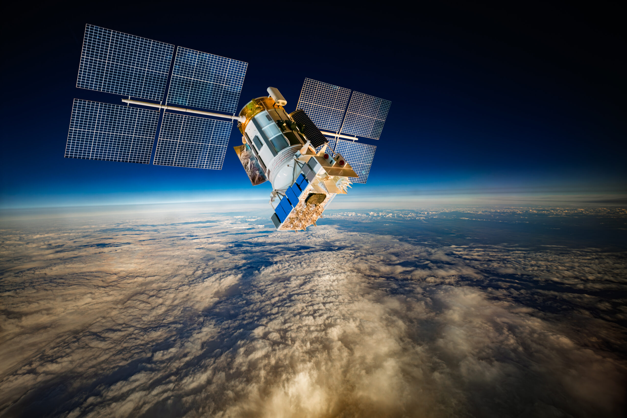
Satellites are revolutionizing how nations approach agriculture and food security. By providing real-time data on soil moisture, rainfall, vegetation, and crop health, Earth observation satellites enable farmers, scientists, and policymakers to make informed decisions that boost yields and mitigate risks. Communication satellites extend these insights to rural communities, ensuring that farmers receive timely updates, weather forecasts, and drought warnings. Together, these technologies bridge the gap between data and action—helping countries like Angola strengthen agricultural planning, manage resources, and respond proactively to climate threats.
At the core of this transformation is a new model for sustainable food security, where satellite data drives smart decision-making and long-term resilience. Projects such as Angola’s NASA–MIT Drought Decision Support System show how integrated space technologies can anticipate droughts, protect livelihoods, and stabilize food systems. These innovations not only enhance national planning but also contribute to global goals like Zero Hunger, proving that satellites are indispensable tools for creating a more secure and sustainable food future.
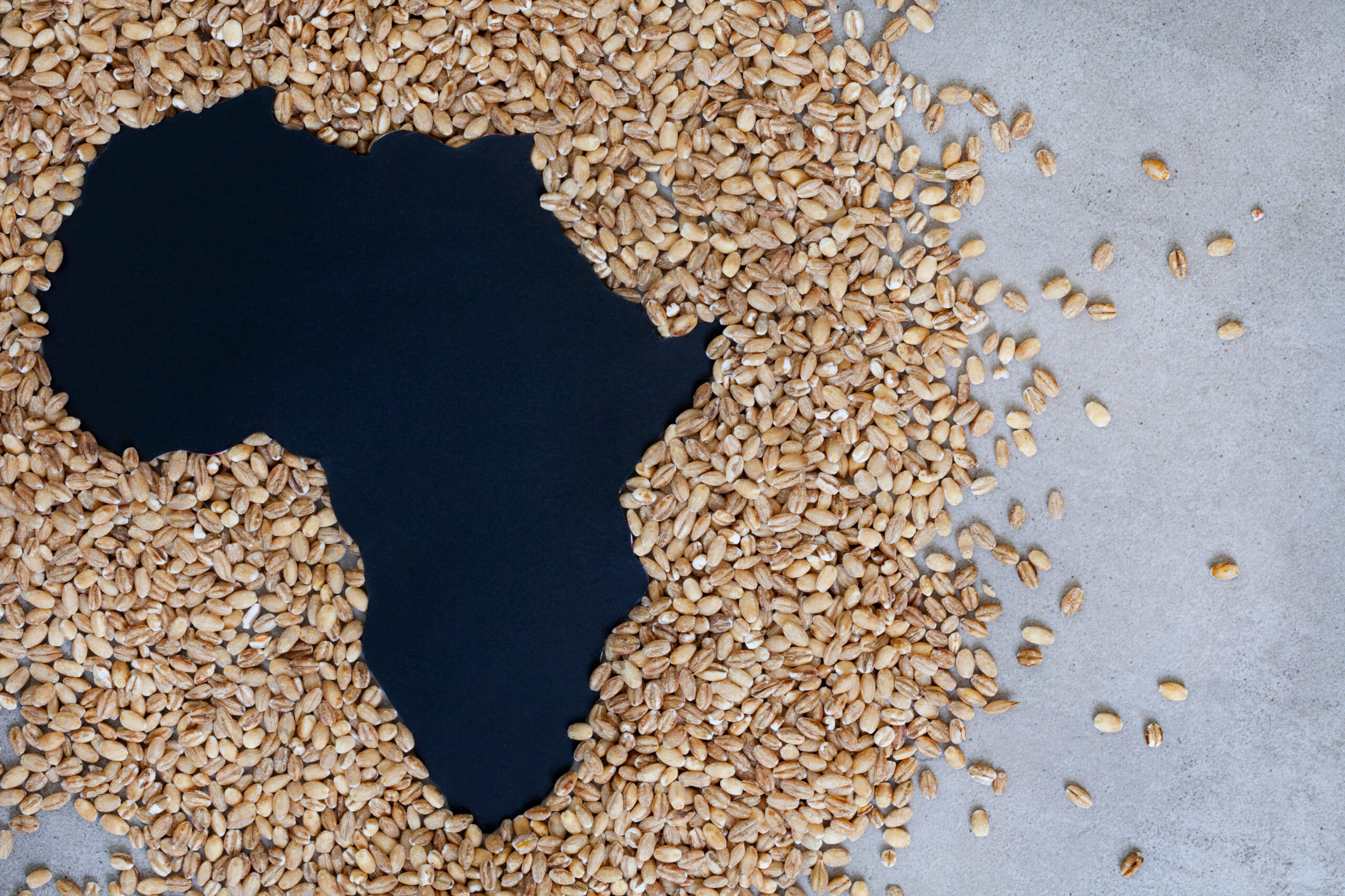
Feeding a growing global population is one of the most urgent challenges of the 21st century. Agricultural systems are under increasing pressure from population growth, land degradation, water scarcity, and climate change. In this context, countries are turning to technology to build resilience, boost yields, and secure stable food systems. Strengthening food security isn’t just about producing more food; it’s about producing it smarter, with better planning, monitoring, and adaptation.
This is where space science comes in. Satellites provide critical insights into the Earth’s surface and atmosphere, helping farmers, researchers, and policymakers understand and respond to changes in real-time. Earth observation (EO) satellites can track land use, soil moisture, precipitation, vegetation health, and other environmental factors. Communication satellites can deliver this information directly to the communities that need it most—even in the most remote regions.
Countries like Angola are already proving how satellite technology can support agriculture and food systems. By integrating EO data and communication infrastructure, Angola is building a model for how space technology can help nations respond to drought, manage agricultural resources more efficiently, and build climate resilience from the ground up.
Table of Contents:
The Role of Earth Observation Satellites in Agriculture
Crop Classification, Yield Estimation, and Land Use
Supporting National Planning and Sustainability
Monitoring Drought and Environmental Stress
Angola’s Drought Decision Support System
Communications Satellites as Enablers of Agricultural Connectivity
Supporting Broader Rural Development
Integrating Satellite Systems for Decision Support
Angola’s Drought Decision Support Ecosystem
Designing Systems for Real-World Impact
Advancing Food Security Through Satellite Innovation
Creating Socio-Economic Ripple Effects
Recognition and Global Relevance
Why Satellites Are Key to a More Food-Secure Future
The Role of Earth Observation Satellites in Agriculture
Earth observation satellites are like eyes in the sky. They provide a continuous stream of high-resolution data on land cover, crop health, climate indicators, and environmental conditions. Unlike ground-based monitoring, which can be slow and expensive, satellites offer wide coverage and consistent updates, essential for monitoring large agricultural regions.
This is especially important in countries where agriculture spans vast, remote areas. EO satellites allow governments and organizations to detect early signs of stress in crops, assess damage after extreme weather events, and plan for resource allocation before a crisis escalates. For farmers, these insights translate into better planting decisions, optimized irrigation, and a more effective use of fertilizers.
Crop Classification, Yield Estimation, and Land Use
EO satellites are also powerful tools for crop classification, identifying the types of crops grown and their locations. They can monitor how these crops evolve throughout the growing season, which helps predict harvest outcomes and supports yield estimation. This information is crucial for food supply chain planning, market forecasting, and national agricultural policy development.
A strong example of this is the IAC 2023 paper, “Use of Satellite Image for Crop Classification in Angola,” which demonstrates how satellite imagery can accurately map agricultural zones. The findings demonstrate how remote sensing can identify patterns in crop distribution, track seasonal variations, and support sustainable land management practices.
Supporting National Planning and Sustainability
When EO data is paired with on-the-ground measurements, it creates a comprehensive, real-time agricultural monitoring system. This is crucial for countries like Angola, where agriculture is both a key economic driver and a cornerstone of national food security. Satellite data helps identify underutilized farmland, track the impacts of climate change on crop cycles, and support sustainable practices that protect soil and water resources for future generations.
These capabilities are not just valuable at the national level—they also contribute to global monitoring systems, enhancing international cooperation on food security challenges.
Monitoring Drought and Environmental Stress
Drought remains one of the most severe threats to agriculture and food systems in Africa. A single season of insufficient rainfall can devastate yields, destabilize markets, and threaten the livelihoods of millions of farmers. Traditional drought monitoring methods often rely on ground stations and reports, which can be slow, fragmented, and inconsistent in their data collection and reporting. EO satellites offer something different: fast, accurate, and wide-ranging coverage of environmental conditions.
They measure critical indicators like precipitation, soil moisture, and vegetation greenness. These signals allow experts to detect the early onset of drought conditions, sometimes weeks before they are visible on the ground.
Angola’s Drought Decision Support System
Angola has made significant strides in using satellite data for drought monitoring through the NASA-funded MIT–GGPEN Drought Decision Support System (DDSS). This system integrates EO data with local knowledge to create drought risk maps and actionable decision tools.
The DDSS analyzes satellite data to identify hotspots where drought is most likely to affect crops and communities. It then supports targeted response measures, such as distributing water resources, adjusting planting schedules, or deploying early warning systems.
According to Space in Africa, this collaboration between NASA, MIT, and GGPEN is designed to anticipate and mitigate the impacts of drought, rather than just respond after the fact. This shift from reactive to proactive management is a game-changer for food security in drought-prone regions.
Turning Data into Action
As Blue Raster explains, satellite data in the DDSS is transformed into localized drought forecasts. Government agencies use these forecasts to allocate resources, support farmers, and reduce losses. The system enhances the precision and timing of interventions, thereby helping to protect crops and stabilize rural economies.
The importance of this system was also highlighted in an IAF/IAC paper, “Systems Architecture as a Tool for Developing Decision Support Systems: Angolan Drought,” which emphasizes how EO technology can be effectively embedded in long-term drought mitigation planning.
Communications Satellites as Enablers of Agricultural Connectivity
Access to data is only part of the equation. For satellite technology to truly transform agriculture, information must reach farmers quickly and reliably. In many rural parts of Africa, internet access is limited or nonexistent, making it hard to distribute real-time agricultural information. That’s where communication satellites play a critical role.
Satellites like ANGOSAT-2 and the SADC Shared Satellite provide wide-area coverage, connecting regions that would otherwise be cut off. This connectivity supports early warning systems, weather updates, market price alerts, and agricultural advisories—all vital for building resilience at the farm level.
Real-Time Support for Farmers
When a drought warning is issued or new rainfall data becomes available, communication satellites can deliver that information straight to local authorities or even individual farmers through connected networks. This ensures a faster response, reducing crop losses and increasing preparedness.
Beyond climate data, communication satellites also enable the sharing of remote sensing data among agencies, universities, and communities. A dataset produced by scientists in Luanda can be transmitted to farmers hundreds of kilometers away within minutes.
Supporting Broader Rural Development
While their role in agriculture is central, communication satellites also play a significant role in broader rural development. They connect schools, clinics, and local governments, fostering economic activity and community stability. This interconnected infrastructure supports agricultural resilience as part of a broader food security strategy.
Integrating Satellite Systems for Decision Support
Earth observation and communication satellites each provide powerful capabilities. But when integrated, they create something far greater—a data ecosystem that seamlessly moves information from satellites to policymakers and farmers. This integration ensures that data collected from space doesn’t sit unused in databases; it drives decisions on the ground.
Angola’s Drought Decision Support Ecosystem
Angola’s Drought Decision Support Project is built on this principle. EO satellites gather environmental and agricultural data. That data is processed and analyzed using advanced modeling tools. Then, communication satellites deliver the resulting information to farmers, local authorities, and ministries.
This ecosystem improves timeliness, accuracy, and accessibility—three pillars of effective agricultural decision-making. When policymakers have access to accurate and up-to-date data, they can make more informed decisions about water allocation, crop support programs, and market interventions. For farmers, timely alerts and advisories can make the difference between a productive harvest and a total loss.
Designing Systems for Real-World Impact
The IAF/IAC paper on Systems Architecture points out that designing satellite systems around user needs, rather than just technical capacity, is key to impact. This means creating interfaces and workflows that are understandable, relevant, and accessible to local communities. When satellite data is usable, it directly strengthens food security.
Advancing Food Security Through Satellite Innovation
Satellite technology isn’t just a technical solution; it’s a strategic tool for governments. In Angola, satellite-enabled systems are helping shape national agricultural strategies. By integrating EO and communication capabilities, the government can plan irrigation projects, monitor water scarcity, and issue drought warnings before communities are severely affected.
These tools give governments a bird’s-eye view of agricultural activity across the country. That visibility is essential for food security in regions vulnerable to climate shocks.
Creating Socio-Economic Ripple Effects
The benefits of satellite technology extend well beyond farming. Accurate data supports supply chain management, ensuring that food gets where it’s needed efficiently. It strengthens markets, improves price stability, and reduces the risk of shortages. It also supports efficient use of natural resources, minimizing waste and environmental damage.
When farmers have reliable access to climate and crop information, their productivity increases. This boosts household income, strengthens rural economies, and reduces vulnerability to climate shocks. These ripple effects are exactly what development agencies and governments aim to achieve with long-term food security strategies.
Recognition and Global Relevance
Angola’s drought decision support work has earned international attention. As Space in Africa reported, the project was commended by U.S. Secretary of State Antony Blinken for its innovative use of EO and communication satellites to tackle drought. This recognition underscores that what’s happening in Angola has global relevance. It shows how satellite technology can be adapted and scaled in other regions facing similar food security challenges.
Aligning With Global Goals
These advancements also align with the United Nations Sustainable Development Goals (SDGs), especially SDG 2: Zero Hunger. By utilizing space science to enhance agriculture, countries contribute not only to their own stability but also to the global food system’s resilience.
Why Satellites Are Key to a More Food-Secure Future
Satellites are transforming the way we approach agriculture and food security. Earth observation satellites allow us to monitor the health of crops and landscapes, while communication satellites ensure that vital information flows directly to those who need it most. Together, they make it possible to predict, prepare for, and respond to challenges like drought and climate variability.
Angola’s NASA–MIT Drought Decision Support System and its use of ANGOSAT-2 demonstrate how integrated satellite systems can drive real-world impact. By combining data collection, analysis, and communication, Angola is building resilience into its agriculture and food systems.
But this is bigger than one country. This is about how space-based technology can help nations around the world secure their food supply, adapt to climate change, and ensure that no community is left behind. As satellite capabilities expand and partnerships deepen, they will continue to play a central role in feeding the world.