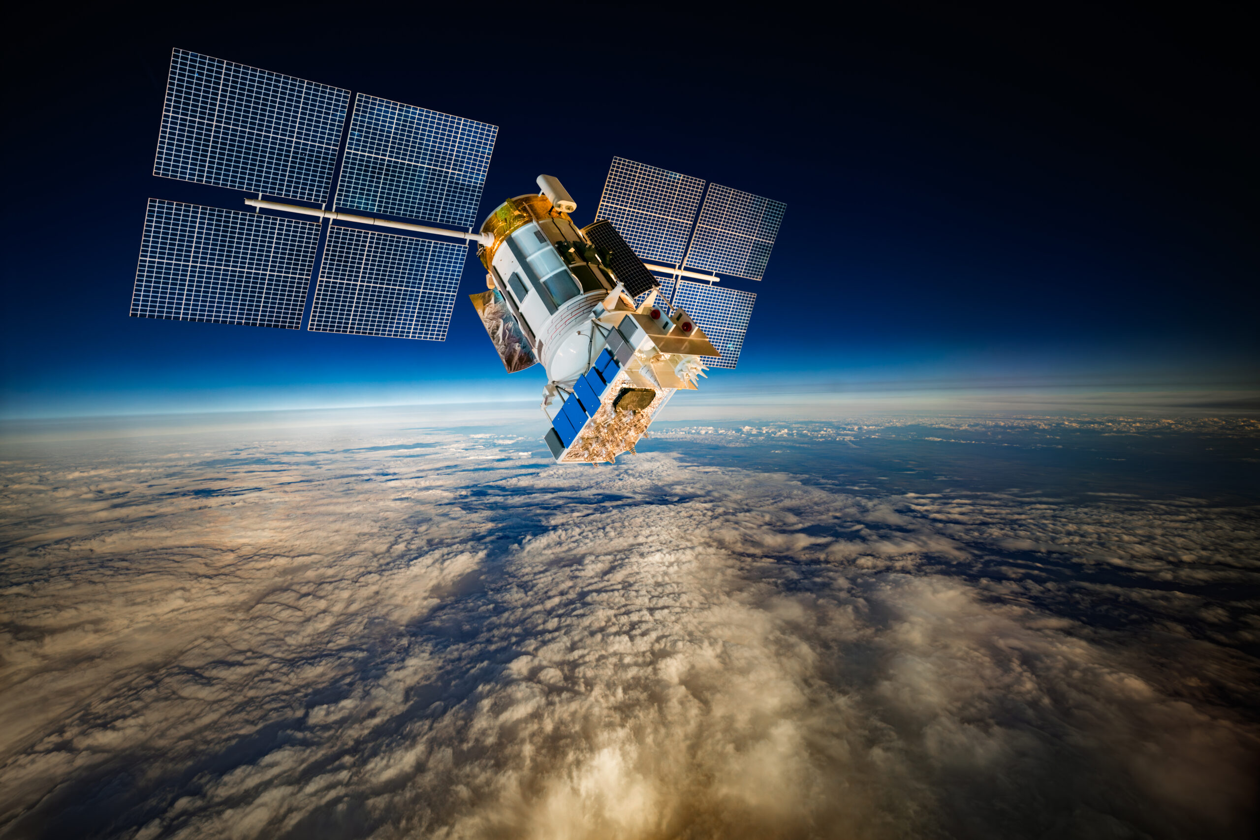
What if the biggest value of space technology has nothing to do with rockets or space exploration? This article explains how satellites are already helping governments, businesses, and institutions improve communications, environmental oversight, infrastructure planning, and economic growth here on Earth.
From ANGOSAT-2 to drought monitoring and geospatial mapping in Angola, the article explores how satellite systems create long-term value through digital inclusion, predictive planning, operational resilience, and stronger institutional decision-making.
Most conversations about space are about launch costs, rockets, or scientific achievements. However, the real economic benefits often begin on the ground, when governments, telecom companies, utilities, and public institutions use satellites to solve everyday problems.
Space science helps us make new discoveries.
A lot of people believe space technology will only matter in the far-off future. However, many countries already use satellites to improve land use, monitor infrastructure, protect the environment, and support national planning. This isn’t science fiction. It’s making a real difference today, right here and now.
“Countries generating the strongest returns are integrating satellite systems into institutional workflows, local service providers, regulatory systems, and public-sector operations.”
The strongest returns come from the ecosystem built around those systems, operators, applications, data services, regulatory frameworks, and local providers.
This shift is already taking place across Africa, especially in Angola. Programs focused on connectivity, geospatial analysis, environmental monitoring, and digital inclusion show that space technology is most useful when it becomes part of everyday work in institutions.
How Does Space Technology Create Value?
1. Revenue Generation Through Visibility
One of the biggest economic benefits of space technology is better visibility. Governments can’t manage, regulate, or tax assets they can’t see or track. Satellite imagery and geospatial systems now support property identification, land-use checks, mapping of infrastructure, and oversight of resources.
But the most significant change was the shift from assumption-based to evidence-based governance. Before satellite-enabled mapping, property boundaries in many areas were disputed, under-assessed, or simply absent from official records. When we introduced geospatial tools, institutions were forced to confront gaps they had previously managed around.
In Angola, satellite-based property and land-use mapping demonstrate how geospatial tools can improve financial management by clarifying property boundaries, land use, and under-assessed assets. As a result, institutions get better records to support taxation, planning, and regulation.
We could see the clearest impact in increased revenue generation for the tax authority. Tax authorities gained visibility into assets that had never been formally registered or properly assessed, allowing governments to expand the tax base, reduce leakage, and improve fiscal planning. Urban planners could also finally see the actual footprint of informal settlements and plan infrastructure accordingly.
The critical change was that the technology made it impossible to continue operating on incomplete information.
I believe better financial management leads to clearer national assets and more informed decisions in the public sector.
2. Cost Savings and Operational Efficiency
Reducing dependence on outside communications infrastructure can transform a country’s economy.
For developing countries, relying only on foreign communications brings long-term financial and operational risks. Renting bandwidth from outside providers becomes costly as demand grows in finance, education, healthcare, business, and government services.
National satellite capacity changes that.
The most important operational change was resilience. Before ANGOSAT-2, Angola’s communications infrastructure was entirely dependent on leased foreign capacity. During any disruption, whether technical, geopolitical, or financial, we had no fallback.
ANGOSAT-2 changed that for us.
“Local telecom providers can now offer services with a domestic backbone, reducing costs, improving reliability, and enabling us to prioritize national traffic during emergencies.”
It also created a new commercial dynamic. Local providers began competing for capacity on a national system, which helped drive down prices and expand coverage into areas that had previously been commercially unviable.
The result was broader coverage, stronger network resilience, more flexible pricing structures, improved emergency communications, and better operating conditions for local providers and businesses.
Having control over operations is even more important during disruptions. Communications systems based on national infrastructure offer more flexibility during emergencies, natural disasters, and regional outages.
Conversations about space technology should also cover mission control, network resilience, local providers, spectrum management, and maintaining smooth operations.
3. Market Creation and Economic Multipliers
One satellite program can support local internet providers, mapping companies, digital payment systems, software firms, education platforms, logistics businesses, and telecom companies. Over time, these systems help create new business ecosystems.
Conecta Angola is a good example. The project works to expand digital access by supporting underserved communities, businesses, and local service providers with satellite infrastructure.
Businesses can reach digital markets, schools use online education platforms, health centers improve communications, and entrepreneurs gain access to cloud services, financial systems, and digital tools that were once out of reach.
As a result, local internet providers grow, regional startups reach more customers, new service providers emerge, and jobs increase in fintech, software, logistics, education, and tech support.
What Does Space Technology Offer?
1. More Connection
Some places are too difficult, costly, or impractical to build ground-based infrastructure.
Remote areas, offshore sites, isolated communities, and tough terrain often lack service because fiber and cellular networks require significant capital and ongoing maintenance.
Satellite communications provide another way to connect these areas.
Conecta Angola has shown that satellite systems can help communities and institutions that traditional networks can’t reach, and their benefits go beyond just internet access.
The effects extend far beyond internet access. Clinics can support remote diagnostics, schools gain access to educational platforms, and businesses reach broader digital markets. Emergency-response systems also become more reliable when the communications infrastructure remains operational during disruptions.
In many places, these services would not be available or even possible without satellite infrastructure.
Growing up with limited resources shaped how I see infrastructure and access. I became interested in ICT and telecommunications after seeing how technology could connect people to information, opportunities, and services they would otherwise not have access to.
That perspective stayed with me as I moved into my work with satellite systems and space technology. It’s one reason I see communications infrastructure as so much more than a technical asset: it’s a foundation for economic participation, institutional capacity, and long-term development.
2. Earth Observation at National Scale
Still, it is difficult to match large-scale Earth observation using only ground-based systems.
Satellites can monitor coastlines, agriculture, infrastructure, environmental damage, maritime zones, and mining across large areas in near real time.
“In Angola, synthetic aperture radar (SAR) imagery has supported oil-spill detection and environmental monitoring, improving response speed and strengthening regulatory oversight by identifying incidents that may have gone unnoticed.”
Very high-resolution satellite imagery also helps track mining and land-use changes. These uses make resources easier to see and improve environmental oversight.
This allows governments to continuously monitor infrastructure, ecosystems, and economic activity, rather than relying on scattered inspections or reports. It strengthens enforcement, protects the environment, and helps with long-term planning.
3. Decision Intelligence for Governments
Satellite-enabled systems are also changing the way governments make decisions.
Drought monitoring, climate analysis, infrastructure mapping, and geospatial planning tools give institutions a level of awareness that would be hard to achieve otherwise.
The Angola Drought Decision Support System (ADDSS), developed with NASA and MIT, demonstrates how satellite-enabled systems can improve operational planning beyond simply collecting environmental data. The platform blends climate indicators, Earth observation data, and geospatial analytics to support drought monitoring, resource allocation, and risk assessment.
The ADDSS revealed that the hardest part of satellite-enabled decision-making is institutional trust. When we first presented drought forecasts to provincial administrators, the instinct was to wait for the situation to deteriorate before acting, because that was the familiar pattern.
The system forced a different conversation. If the data shows a 70% probability of severe drought in 90 days, at what point does inaction become a policy failure?
That shift from data as information to data as accountability is the real transformation. It requires training, institutional buy-in, and a willingness to act on probability rather than certainty.
Why Does Sovereignty Matter in the Space Value Chain?
1. From Data Dependency to Data Ownership
One of the biggest global shifts is moving from relying on outside sources to building local capabilities.
Countries that depend entirely on outside providers for images, analytics, processing, or communications face delays, less flexibility, and limited control.
But processing data locally changes this situation.
Countries that process satellite data themselves respond faster, become more independent, and rely less on outside processes.
This becomes a major advantage when combined with local infrastructure, skilled teams, and strong operations.
2. Building the Full Value Chain
The space economy is about much more than just satellites.
The value chain covers satellites, launch partners, spectrum management, ground infrastructure, data processing, and services like broadband, analytics, logistics, apps, and digital platforms.
Countries that only buy hardware rarely get the full benefits of space technology. Long-term value comes from linking communications, apps, regulations, and local businesses.
How Is Space Technology Used in Angola?
Angola is a good example of how satellite systems can turn technical skills into real operational value in places where this technology was once unheard of.
What makes Angola’s experience important isn’t the existence of satellite systems, but how institutions began integrating them into operational workflows. Environmental monitoring became faster. Infrastructure planning became more evidence-based. Resource oversight improved through wider geographic visibility and more consistent monitoring capabilities.
Together, these systems show how space technology creates value when it’s part of institutions, communications networks, and economic workflows. ANGOSAT-2 strengthens communications and expands connectivity. The Drought Decision Support System uses satellite data for environmental planning and risk management. These are just two examples of how space technology can impact different disciplines, and there are several other significant benefits to recognize and appreciate.
Key Takeaway
The benefits of space technology include stronger communications, increased revenue, better environmental oversight, improved planning, and growth in digital markets.
Satellite systems offer capabilities that are hard, if not impossible, to match with ground infrastructure. They bring connectivity to places fiber can’t reach, give visibility across entire countries, and help institutions make better decisions on a much larger scale.
The most important shift is recognizing that the value of space isn’t measured solely by launch events or hardware ownership. It’s measured through communications resilience, institutional capability, environmental oversight, economic participation, and the systems that improve everyday operations on the ground.