What if the greatest value of satellite technology isn’t the data it collects, but the better decisions it enables? This article explores how Angola’s Drought Decision Support System (ADDSS) demonstrates that Earth observation creates a lasting impact when satellite data is integrated with governance, social vulnerability insights, and institutional workflows.
By shifting from monitoring conditions to supporting proactive planning and resource allocation, governments can improve climate resilience, strengthen coordination, and reduce risk before crises occur. The real lesson extends beyond satellite technology. Lasting impact comes from turning information into action, enabling governments to make faster, more informed decisions that protect communities before environmental risks become humanitarian crises.
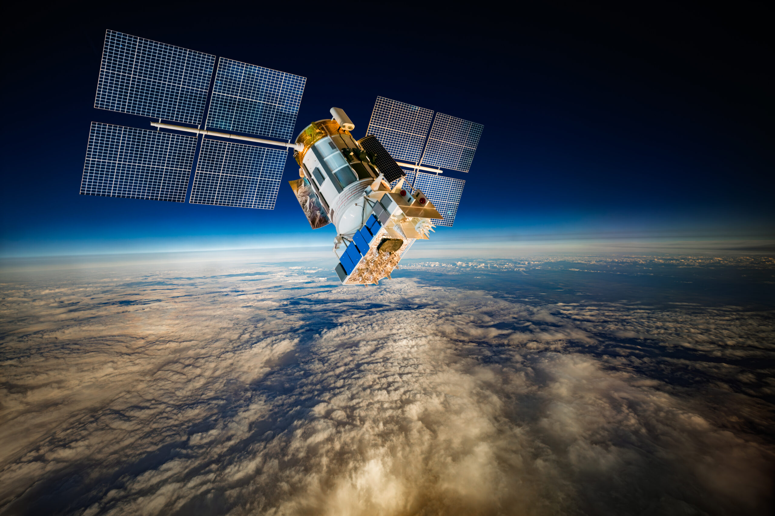
Images from space can reveal drought conditions, monitor environmental change, track agricultural activity, and provide visibility across vast geographic regions. That’s satellite technology at work. It has incredible capabilities, but data gathering alone rarely solves problems.
Space science has expanded our ability to monitor environmental conditions, but the challenge now is ensuring institutions can use that information effectively. Governments don’t actually manage droughts with satellite imagery; they manage droughts through planning, resource allocation, coordination, and timely intervention. Collecting information is pretty straightforward, but acting on it consistently is much harder.
This distinction has become important across Africa as governments face growing pressure from climate variability, water stress, food insecurity, and environmental change. Earth observation systems provide visibility into environmental conditions, but that’s not enough to improve outcomes.
Angola’s Drought Decision Support System (ADDSS) reinforced a reality that applies across many space-enabled systems developed in partnership with NASA and MIT. The reality is that the greatest value of satellite technology emerges when information is integrated into an operational workflow. Monitoring conditions is only useful when institutions can translate information into planning, coordination, and intervention.
ADDSS offers a practical example of how Earth observation, social vulnerability data, institutional coordination, and policy planning can work together to strengthen climate resilience.
But the main gap was not the lack of environmental data, but the lack of an integrated framework that combined Earth observation data, social vulnerability indicators, and institutional decision-making. Different organizations often worked with different datasets and timelines. ADDSS was designed to create a common operating picture that enables earlier interventions, better coordination, and more informed resource allocation.
More importantly, it demonstrates how satellite-enabled systems can support governments in moving from reactive crisis response toward proactive risk management.
Why Isn’t Satellite Data Alone Enough to Manage Drought Risk?
For many years, drought monitoring focused primarily on observation. Governments and agencies collected environmental data, monitored rainfall patterns, tracked vegetation conditions, and assessed water availability.
These efforts improved awareness but sometimes failed to produce timely action.
One reason is that drought develops gradually. Unlike floods, earthquakes, or storms, droughts often emerge over months or years. Early indicators may be visible long before communities begin experiencing severe impacts. This creates a challenge for policymakers. Knowing that conditions are deteriorating doesn’t automatically determine when interventions should begin, where resources should be directed, or which populations require support. However, sustainable impact requires local analysts, policymakers, and operational users who can translate data into action, reinforcing the importance of capability development alongside technology deployment.
Governments manage droughts through systems that translate satellite technology into planning and action. Technical teams may understand the significance of satellite indicators, but decision-makers require information in a format that supports planning and resource allocation.
This was one of the important lessons that emerged from early drought monitoring efforts. Producing information is only the first step. The broader challenge is ensuring satellite technology becomes part of the workflows that support decision-making.
How Does Satellite Technology Help Identify Risk Before a Crisis Occurs?
One of the greatest strengths of Earth observation is its ability to identify emerging risks before they become visible on the ground.
Modern satellite technology enables governments to monitor environmental conditions continuously rather than rely on periodic field assessments. Analysts can monitor vegetation health, rainfall patterns, soil moisture conditions, water availability, and environmental stress across large geographic regions. This creates a broader and more consistent viewpoint to work from.
“In Angola, where environmental conditions can vary significantly across provinces, this visibility is very important.”
ADDSS integrates multiple environmental indicators to provide a more comprehensive understanding of drought risk. Instead of relying on a single measurement, the system evaluates several variables simultaneously, helping analysts identify areas where environmental stress is beginning to develop.
By identifying risks early, governments have more time to plan interventions, coordinate resources, and engage local authorities before conditions deteriorate further.
Early warning systems create opportunities to reduce those impacts before they become crises. This is one of the most practical applications of satellite technology in climate resilience planning.
Why Must Environmental Data Be Combined with Social Vulnerability Data?
Drought is often viewed as an environmental problem. But in reality, it’s also a social and economic challenge.
While satellite technology can identify environmental stress, it can’t explain how communities experience that stress. Two communities experiencing the same environmental conditions may face very different outcomes depending on infrastructure availability, income levels, water access, agricultural factors, and existing vulnerabilities.
One of the most important features of ADDSS is its ability to combine Earth observation data with social vulnerability information. This allows decision-makers to move beyond asking where drought conditions exist and begin asking who’s most impacted.
A region experiencing moderate environmental stress may require greater intervention than another region facing more severe conditions if local populations have fewer resources available to absorb the shocks.
By integrating environmental indicators with socioeconomic data, ADDSS helps create a more accurate picture of risk exposure. This level of integration allows satellite technology to support people-centered policy decisions rather than purely environmental analysis.
This improves prioritization, but most importantly, it helps governments focus on people rather than datasets. The objective is to understand how those conditions affect communities and enact policies and changes accordingly.
How Do Institutions Turn Satellite Insights into Resource Allocation Decisions?
The true test of any decision-support system is whether it improves operational outcomes. For satellite technology, the true test is whether it helps decision-makers allocate resources more effectively.
Governments rarely have unlimited resources available during periods of environmental stress. Decisions must be made about where assistance should be directed, which communities require immediate support, and which interventions will produce the greatest benefit.
We’ve seen ADDSS support these decisions by providing a common operating picture across multiple agencies and enacting data-backed changes that genuinely improve communities.
Instead of relying on fragmented information sources, decision-makers can evaluate environmental conditions, vulnerability indicators, and geographic trends through a shared framework.
Agricultural agencies, water authorities, disaster management organizations, and local governments can align their planning efforts on a common information base. When properly integrated, satellite technology becomes part of everyday planning rather than an isolated technical capability.
“When institutions work from a common set of indicators, it becomes easier to prioritize interventions, justify resource allocations, and coordinate responses.”
The same principles apply across many space-enabled applications. Whether monitoring environmental conditions, managing infrastructure, tracking natural resources, or supporting public services, institutional workflows determine whether information generates outcomes.
What Role Does Institutional Coordination Play in Making Satellite Technology Effective?
One of the most overlooked aspects of Earth observation programs is governance.
There’s a tendency to focus on technical capability while underestimating the importance of institutional coordination. Technology alone can’t solve policy challenges. This is particularly true for satellite technology, where success depends on adoption across multiple institutions.
A sophisticated monitoring system has limited value if agencies operate independently, share information inconsistently, or pursue competing priorities. Angola’s experience revealed that many institutions face the challenge of creating a common operating picture across stakeholders.
Shared visibility supports shared decision-making. The value of satellite technology increases significantly when agencies share a common operational picture. When technical agencies, local governments, and emergency response organizations share a common information base, coordination becomes more effective.
Institutional alignment increases the value of satellite technology by improving communication and enabling coherent planning.
This is particularly important as African governments continue investing in Earth observation capabilities. Today, the constraint is less about data access and more about institutional integration.
The countries that generate the greatest returns from space-enabled systems are often those that invest as heavily in institutions as they do in technology.
What Was the Most Important Operational Lesson from Angola’s Experience?
Building trust in predictive systems takes time.
Institutional adoption often moves more slowly than technology deployment, as it involves more moving parts. Building confidence in predictive systems requires repeated demonstration that forecasts improve planning outcomes with little to no fault.
Many institutions are accustomed to responding to visible crises. Acting before impacts become obvious requires confidence in forecasts, data, and the decision-making process.
That transition can be difficult.
Organizations must become comfortable making decisions based on probabilities and risk assessments rather than waiting for emergencies to fully materialize.
In Angola’s experience, one of the most valuable outcomes of ADDSS has been helping strengthen that shift in mindset.
“The objective is to use satellite technology to anticipate risks before communities experience severe impacts. It’s meant to be proactive, rather than reactive, technology.”
That represents a fundamentally different approach to governance.
It moves institutions away from waiting for damage to become visible and toward managing risk before it becomes a larger public crisis.
The most important lesson was that institutional adoption is often more challenging than the technology itself. Building confidence in predictive systems takes time. The real success factor isn’t the quality of the satellite data, but the willingness of institutions to act early based on evidence before a crisis becomes visible.
How Can Other African Nations Apply These Lessons?
Many of the operational lessons apply to any government seeking to use satellite technology to support climate resilience and public-sector planning.
Many African countries face similar challenges related to drought, climate variability, food security, water management, and environmental monitoring.
Satellite technology offers important capabilities, but the broader lesson is institutional. Successful implementation requires more than access to Earth observation systems.
It requires governance structures that can integrate information into planning processes. It requires trained analysts who understand both environmental monitoring and policy requirements. And coordination mechanisms that connect technical expertise with operational decision-making.
Regional collaboration also presents significant opportunities.
As African space capabilities continue expanding, there’s growing potential to apply Earth observation systems to a wide range of national priorities, including agriculture, infrastructure planning, resource management, disaster preparedness, and climate adaptation.
It’s important to understand that collecting more data won’t solve the problem if institutions lack the processes to act on it.
Ending Thoughts
The conversation around satellite technology should always begin with decision-making.
Angola’s Drought Decision Support System demonstrates that the greatest value of satellite technology isn’t the information collected from orbit. It’s the ability to support timely interventions, improve resource allocation, strengthen coordination, and help institutions manage risk more effectively.
Earth observation systems are most valuable when integrated into governance processes, operational workflows, and public service delivery.
As climate challenges become more complex, governments will need systems that support action. The future of satellite technology in Africa will be defined by how effectively institutions use that information to improve outcomes for the communities they serve.
Technology creates lasting value when institutions can use it to improve planning, allocate resources more effectively, and reduce risk before crises emerge. That is the most important lesson from Angola’s experience. Technology creates lasting value when it helps governments move from monitoring conditions to improving lives.
Frequently Asked Questions (FAQs)
1. What makes satellite technology valuable for drought management?
Satellite technology becomes valuable when it supports decision-making rather than simply collecting information. Earth observation systems can identify environmental stress, monitor drought conditions, and provide early warning indicators, but the greatest value comes when governments use that information to allocate resources, coordinate interventions, and reduce risk before communities are severely affected.
2. How does the Angola Drought Decision Support System (ADDSS) differ from traditional drought monitoring?
ADDSS goes beyond environmental observation by combining Earth observation data with social vulnerability indicators. This allows decision-makers to understand not only where drought conditions exist, but also which communities are most vulnerable and where interventions can have the greatest impact.
3. Why is institutional coordination important for satellite-enabled decision-making?
Satellite technology alone cannot improve outcomes. Effective use of Earth observation requires coordination among ministries, technical agencies, local governments, and emergency response organizations. When institutions work from a common operating picture, they can prioritize resources more effectively and respond more quickly to emerging risks.
4. Can other African countries apply the lessons learned from ADDSS?
Yes. Many African countries face similar challenges related to drought, climate variability, food security, and water management. The operational lessons from ADDSS—integrating Earth observation, social vulnerability data, and institutional workflows—can be adapted to support climate resilience and resource planning across the continent.